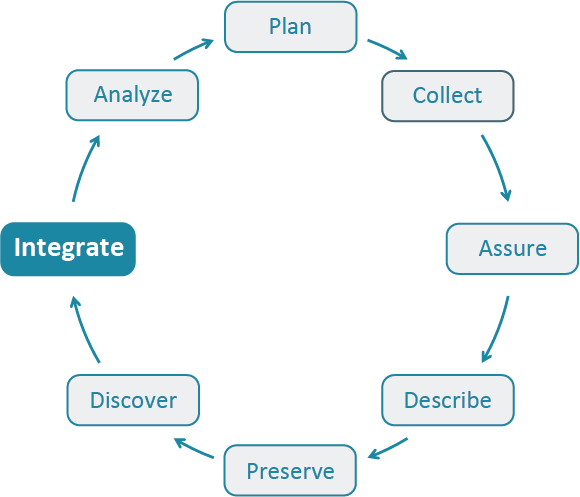
Best Practice: Integrate

Select a Best Practice below to learn more about the “Integrate” stage in the Data Life Cycle.
What is the “Integrate” stage?
Data from multiple sources are combined into a form that can be readily analyzed. For example, you could combine citizen science project data with other sources of data to enable new analyses and investigations. Successful data integration depends on documentation of the integration process, clearly citing and making accessable the data you are using, and employing good data management practices throughout the Data Life Cycle.
More information can be found in the Best Practices Primer.
-
Document steps used in data processing
Different types of new data may be created in the course of a project, for instance visualizations, plots, statistical outputs, a new dataset created by integrating multiple datasets, etc. Whenever possible, document your workflow (the process used to c... (click for more)
Tags: analyze data processing describe integrate provenance replicable data
Document the integration of multiple datasetsDocument the steps used to integrate disparate datasets. Ideally, one would adopt mechanisms to systematically capture the integration process, e.g. in an executable form such as a script or workflow, so that it can be reproduced In lieu of a scien... (click for more)
Tags: citation data consistency documentation integrate metadata provenance
Provide budget information for your data management planAs a best practice, one must first acknowledge that the process of managing data will incur costs. Researchers should plan to address these costs and the allocation of resources in the early planning phases of the project. This best practice focuses on ... (click for more)
Tags: data management plan integrate plan
Understand the geospatial parameters of multiple data sourcesUnderstand the input geospatial data parameters, including scale, map projection, geographic datum, and resolution, when integrating data from multiple sources. Care should be taken to ensure that the geospatial parameters of the source datasets can be ... (click for more)
Tags: analyze documentation geography geospatial integrate metadata provenance

